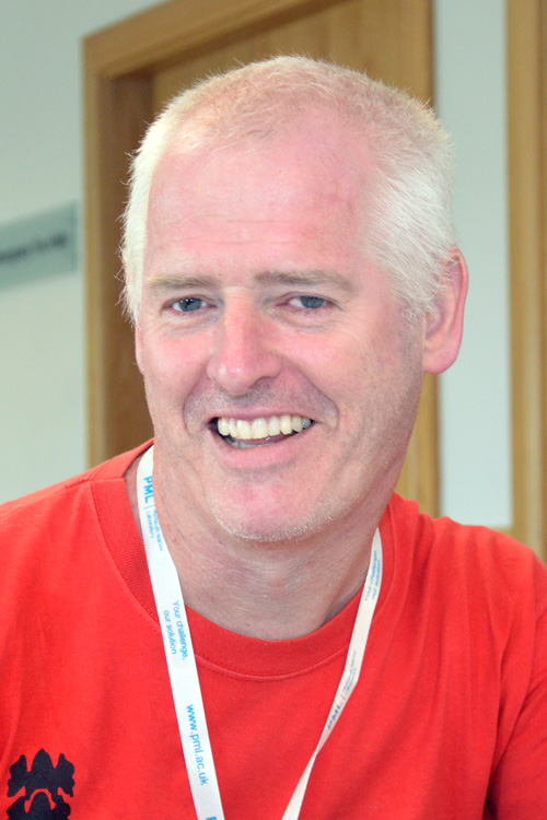
Dr Graham Quartly
Physical oceanographer (Remote sensing)
gqu@pml.ac.uk | +44 (0)1752 633100 (switchboard)"I'm still amazed at how accurately we can monitor the sea surface from 800 km above."
Dr Quartly has a Ph.D. in underwater acoustic from the University of Bath, and has now spent more than 30 years looking at satellite remote-sensing of the ocean He has combined this with analysis of model output, and observations from ships and buoys/drifters. He has led 4 hydrographic cruises and instigated 2 projects for technology development. He has occasionally lectured on altimetry and has supervised 25 MSc or PhD students.
He is very active in satellite altimetry research, and has recently edited a special issue of Remote Sensing on altimetric calibration. He still retains a strong interest in the Greater Agulhas Current system, and also in rainfall at sea.
Away from work, his time is spent hill walking, gardening and Scottish country dancing!
- Ardhuin, F., J.E. Stopa, B. Chapron, F. Collard, R.E. Jensen, J. Johannessen,, R. Husson, A. Mouche, M. Passaro, G.D Quartly, V. Swail,, and I. Young, 2019. Observing sea states, accepted by Frontiers in Marine Science, special issue for OceanObs19 doi: 10.3389/fmars.2019.00124
- Legeais, J.-F., M. Ablain, L. Zawadzki, H. Zuo, J.A. Johannessen, M.G. Scharffenberg, L. Fenoglio-Marc, M.J. Fernandes, O.B. Andersen, S. Rudenko, P. Cipollini, G.D. Quartly, M. Passaro, A. Cazenave, J. Benveniste, 2018. An improved and homogeneous altimeter sea level record: from the ESA Climate Change Initiative. Earth Sys. Sci. Data 10, 281-301. doi: 10.5194/essd-10-281-2018
- Nencioli, F. & G.D. Quartly, 2019. Evaluation of Sentinel-3A wave height observations near the coast of Southwest England, Remote Sensing. 2019, 11(24), 2998 (20pp.) doi: 10.3390/rs11242998
- Quartly G.D., J.-F. Legeais, M. Ablain, L. Zawadzki, M.J. Fernandes, S. Rudenko, L. Carrère, P.N. García, P, Cipollini, O.B. Andersen, J.-C. Poisson, S. Mbajon Njiche, A. Cazenave, J. Benveniste, 2017. A new phase in the production of quality-controlled sea level data, Earth Sys. Sci. Data 9, 557-572. doi: 10.5194/essd-9-557-2017
- Quartly, G.D., et al., 2019. Retrieving sea level and freeboard in the Arctic: A review of current radar altimetry methodologies and future perspectives Remote Sensing, 2009, 11, 881 (47pp.) doi: 10.3390/rs11070881
- Warren, M.A., G.D. Quartly, J.D. Shutler, P.I. Miller, Y. Yoshikawa. 2016. Estimation of ocean surface currents from Maximum Cross Correlation applied to GOCI geostationary satellite data over the Tsushima (Korea) Straits. J. Geophys. Res..121 (9), 6993-7009. doi: 10.1002/2016JC011814
Recent publications
- Chen, X; Quartly, GD; Chen, G; 2024. Eddy detection inverted from Argo profiles to surface altimetry. Journal of Atmospheric and Oceanic Technology.
- Quartly, GD; Aiken, J; Brewin, RJW; Yool, A; 2023. The link between surface and sub-surface chlorophyll-a in the centre of the Atlantic subtropical gyres: a comparison of observations and models. Frontiers in Marine Science.
- Clark, DR; Rees, AP; Ferrera, CM; Al-Moosawi, L; Somerfield, PJ; Harris, C; Quartly, GD; Goult, S; Tarran, GA; Lessin, G; 2022. Nitrite regeneration in the oligotrophic Atlantic Ocean. Biogeosciences.
- Passaro, M; Hemer, MA; Quartly, GD; Schwatke, C; Dettmering, D; Seitz, F; 2021. Global coastal attenuation of wind-waves observed with radar altimetry. Nature Communications.
- Quartly, GD; Chen, G; Nencioli, F; Morrow, R; Picot, N; 2021. An Overview of Requirements, Procedures and Current Advances in the Calibration/Validation of Radar Altimeters. Remote Sensing.