Story
Challenging autonomous gliders in the coastal seas
17 August 2021
An autonomous underwater glider was launched off the coast of Plymouth earlier this year, offering the opportunity to challenge methods of navigation and to observe the variability of the phytoplankton spring bloom in close detail.
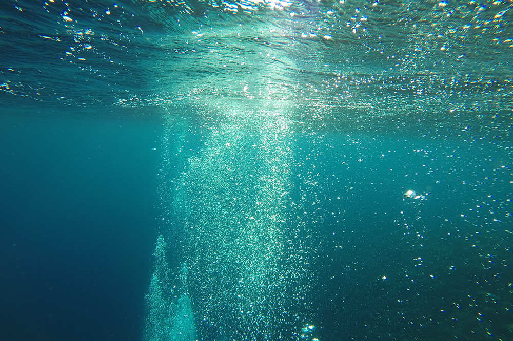
As part of the NERC-funded CAMPUS project (Combining Autonomous observations and Models for Predicting and Understanding Shelf seas), Plymouth Marine Laboratory and the National Oceanography Centre launched an autonomous underwater glider within the Western Channel Observatory, some 20 nautical miles offshore of Plymouth, in late March 2021.
The aim of the mission was twofold. Firstly to challenge the navigational methodology, which currently requires continuous supervision and intervention from human pilots, and to develop the concept of truly autonomous piloting. Secondly, to use the glider's multiple sensors to capture the variability in the spring bloom of phytoplankton in unprecedented detail.
The first challenge, led by the University of Exeter in collaboration with the UK Met Office and PML, used probabilistic and deterministic models that were informed by environmental data collected by the glider. This meant that the mission navigational waypoints could be automatically updated.
At the start of the mission, the future navigation points provided by the model forecast wre heavily supervised by a human pilot. By the end of the mission, however, this was relaxed as confidence was gained in the ability of the models to produce solutions.
The second challenge - of observing the spring bloom in the western English Channel - produced excellent insights into the variability of the bloom intensity and extent. This would not have been possible without the use of the autonomous vehicle in the water for over two months.
This area is one of the most scientifically observed pieces of marine real estate in the world; the E1 station has been continuously sampled at least once a month since 1903 (excluding during the world wars). During the time that the glider was in the water, surveys were carried out by PML's RV Plymouth Quest five times and the E1 data buoy took surface-only measurements every hour (around 800 observations in total).
In contrast, the glider took a virtual snapshot of the environmental conditions in and around E1 every 20 minutes, resulting in a total of 5533 profiles. The allowed the glider observations to capture variability in the bloom dynamics, driven by contrasting, sub-hourly meteorological conditions. This variability would have been missed by the boat (too infrequent) and the buoy (surface-only) observations.
Satellites can also be used to observe phytoplankton blooms, but these observations of chlorophyll and sea surface temperature and similarly constrained to the ocean surface. Daily satellite observations of the area were also rendered impossible during May 2021 thanks to a large amount of cloud cover.
There are many challenges to the use of autonomous vehicles in the coastal seas. In contrast to the open ocean, where Autonomous Underwater Vehicles (AUVs) have been routinely used used on research cruises, the coastal seas present additional hazards such as congestion caused by shipping; rapidly shoaling and shallow (<100 m) topography; high energy tides, currents and waves combined and; the increased likelihood of biofouling.
These risks should be balanced against the obvious huge benefits of using AUVs in the coastal seas including increased 4D observational resolution and the ability of having assets in the field which are relatively accessible in order to develop the next generation of “smart” autonomy.
Dr Tim Smyth, PML Head of Science for Marine Biogeochemistry and Observations, said: "In time, 'smart' autonomy will enable us to tackle pressing environmental challenges faced by stakeholders in the aquaculture and fisheries sectors including the prediction of oxygen depletion and the early detection of harmful algal blooms."