Story
Using drone footage to map invasive species: managing the expansion of wild Pacific oysters
15 July 2024
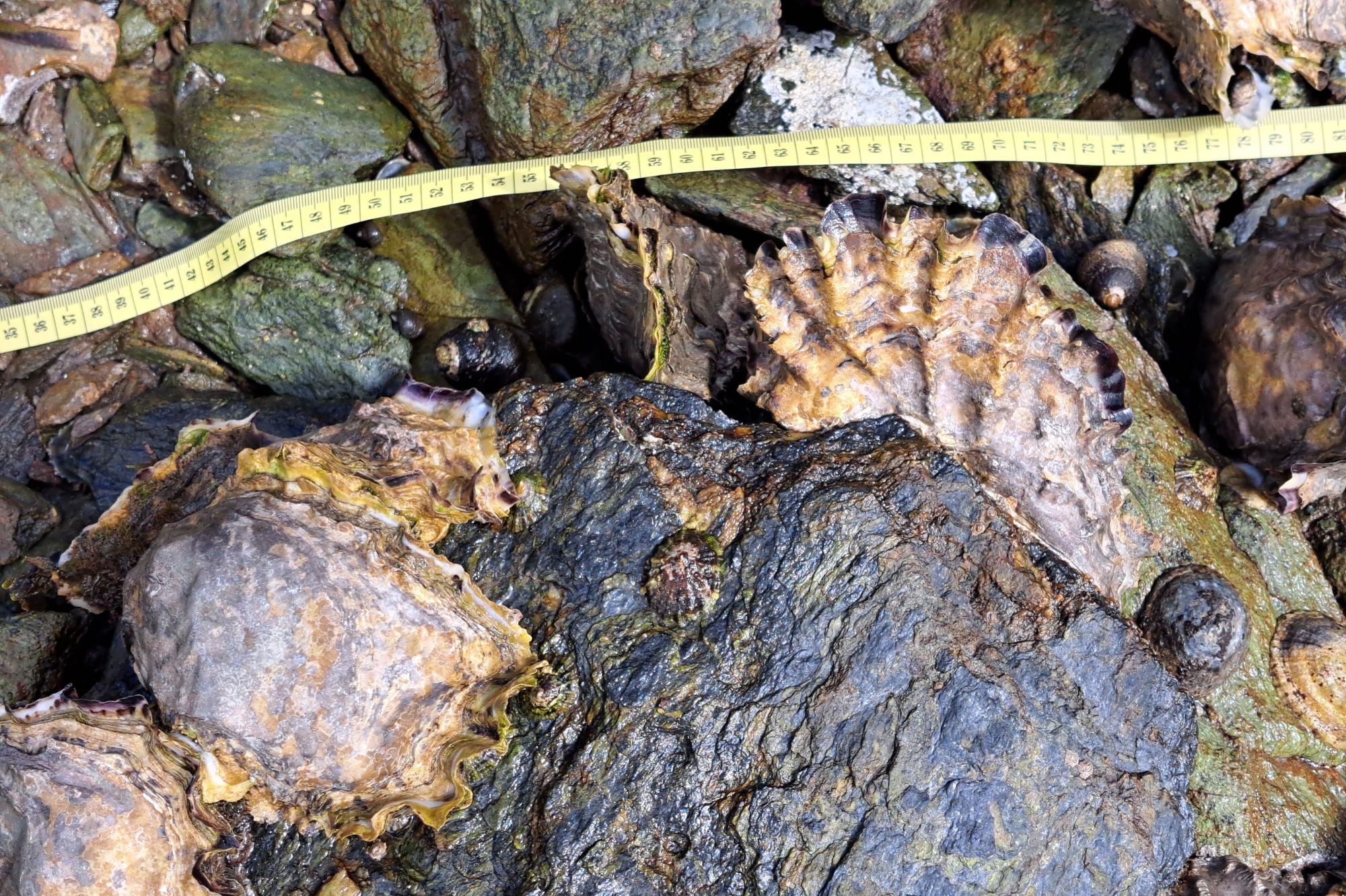 Above: a cluster of Pacific oysters - Crassostrea gigas. Photographed during fieldwork at Kingsbridge Estuary led by scientist Aser Mata. Pacific oysters can reach up to 10 inches in length. The shell is elongated, thick, rough and sometimes sharp.
The Pacific oyster - also known as the Japanese oyster or Miyagi oyster - is indigenous to the Northwest Pacific Coast, but the species has been introduced across 73 countries worldwide due to their commercial value in aquaculture.
However, whether through accidental aquaculture release, spread through ballast water, or other means, populations of wild Pacific oysters are growing.
The impact of the spread of wild Pacific oysters across Europe has become a growing concern in recent years, and furthermore, because of climate change, their numbers are expected to continue to increase due to the warmer climates in Europe.
In the United Kingdom, Pacific oysters are well documented as a non-native invasive species. Since 2017, wild Pacific oysters have been reported in large numbers on coastal and estuarine areas across the Southwest of England, and their recent expansion into Marine Protected Areas (MPAs) in the UK has caused several sites across Cornwall and Devon to be flagged as in “unfavourable condition”.
Pacific oysters have a high reproduction rate, and their colonisation can induce the development of biogenic reefs. Biogenic reefs can introduce diversities, services and food items based on a non-native ecology, as well as inhibiting or blocking the access to the sediments that could otherwise be used as foraging habitat for other species - displacing and or changing the original community structure.
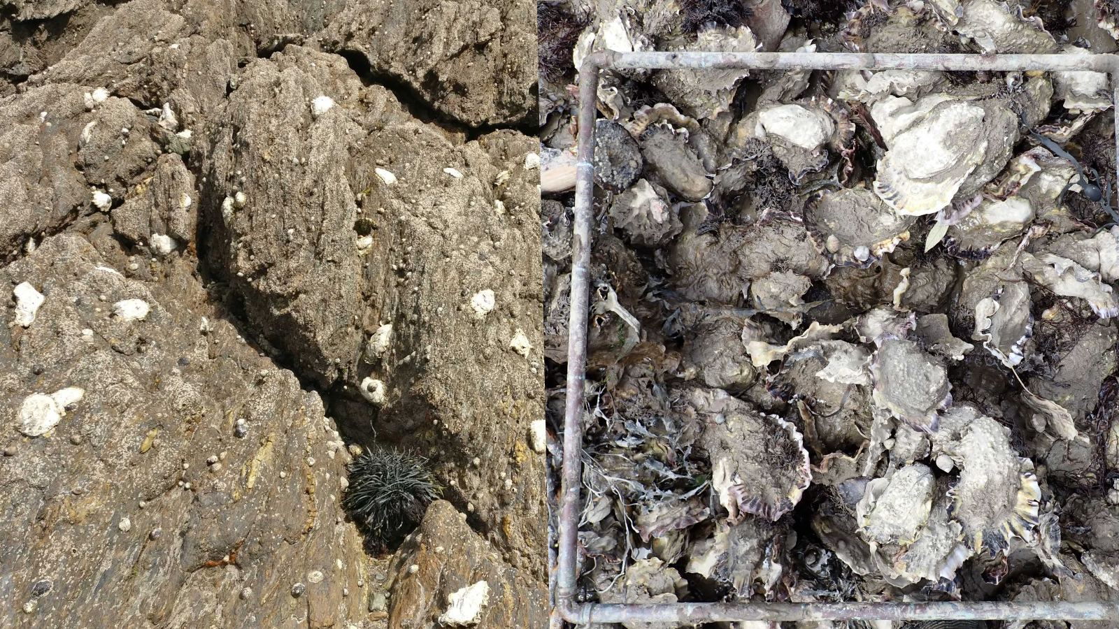
Above: A sparse Pacific Oyster population and very dense Pacific oyster population.
As a result, the unmanaged spread of Pacific oysters can lead to a reduction in the number of prey for different species of birds and fish, altering the balance of habitats and provoking the loss of original species in intertidal areas. This effect can have a significant negative impact, especially within MPAs, where they can have a potent harmful impact on the delicate balance of biomes.
As such, there is an urgent need for continuous monitoring to detect and manage the advance of Pacific oysters, ideally at early stages of colonisation - quantifying their individual numbers to plan remedial action before a tipping point is reached and large aggregates are formed.
However current methods of monitoring populations involve “walk-over” surveys that are highly laborious, time-consuming, and often limited to specific areas of easy access – which could mean potentially incomplete or inaccurate data.
To address this problem, scientists at PML have led a new study trialing the use of Remotely Piloted Aircraft Systems (RPAS) - commonly known as drones - for navigating and surveying complex terrains to detect Pacific oysters.
The study provides a novel workflow for the automated detection, counting and mapping of individual Pacific oysters to estimate their density per square meter by using deep learning - Convolutional Neural Networks (CNNs) - applied to drone imagery.
Lead scientist, Aser Mata describes the work involved:
“We are very excited at the results from this study, which could transform the way we monitor and detect Pacific oysters, with potential for this workflow to be used for other ecological management issues.”
“What makes Pacific oysters so difficult to monitor currently is the fact that they make their home in subtidal areas – which can only be accessed when the tide is out – and in tricky areas to reach like mudflats or vertical cliffs. Traditional on-foot surveys therefore may present a risk to the personnel involved, and may also require suitable equipment like mudflat walkers. Such surveys are time-consuming – significantly increasing labour costs, and they are often limited to areas that are easy to access by foot, which doesn’t give us the complete picture.”
“Drones offer a cost-effective solution to monitoring. Not only can they reduce the time and manpower required by traditional on-foot surveys, but they also allow us to reach and monitor areas that would otherwise be dangerous to access.”
“To gather drone images for this study, a field campaign was carried out at two distinctive intertidal cases at Kingsbridge Estuary, UK. Drone images were collected around low tide, and around altitudes of 10m, on each of the estuary sites.”
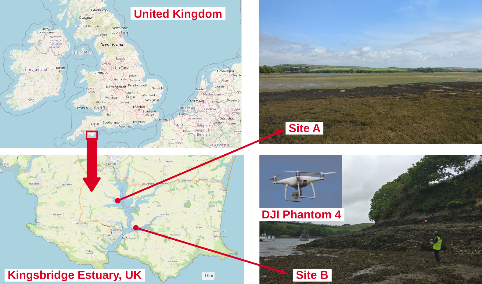
Above: the two estuary sites at Kingsbridge Estuary
“The two sites were chosen due to the high number of Pacific oysters reported, but also their very different characteristic landscapes of mudflats and rocky shore. This would help us train our models to detect Pacific oysters accurately on different types of terrain.”
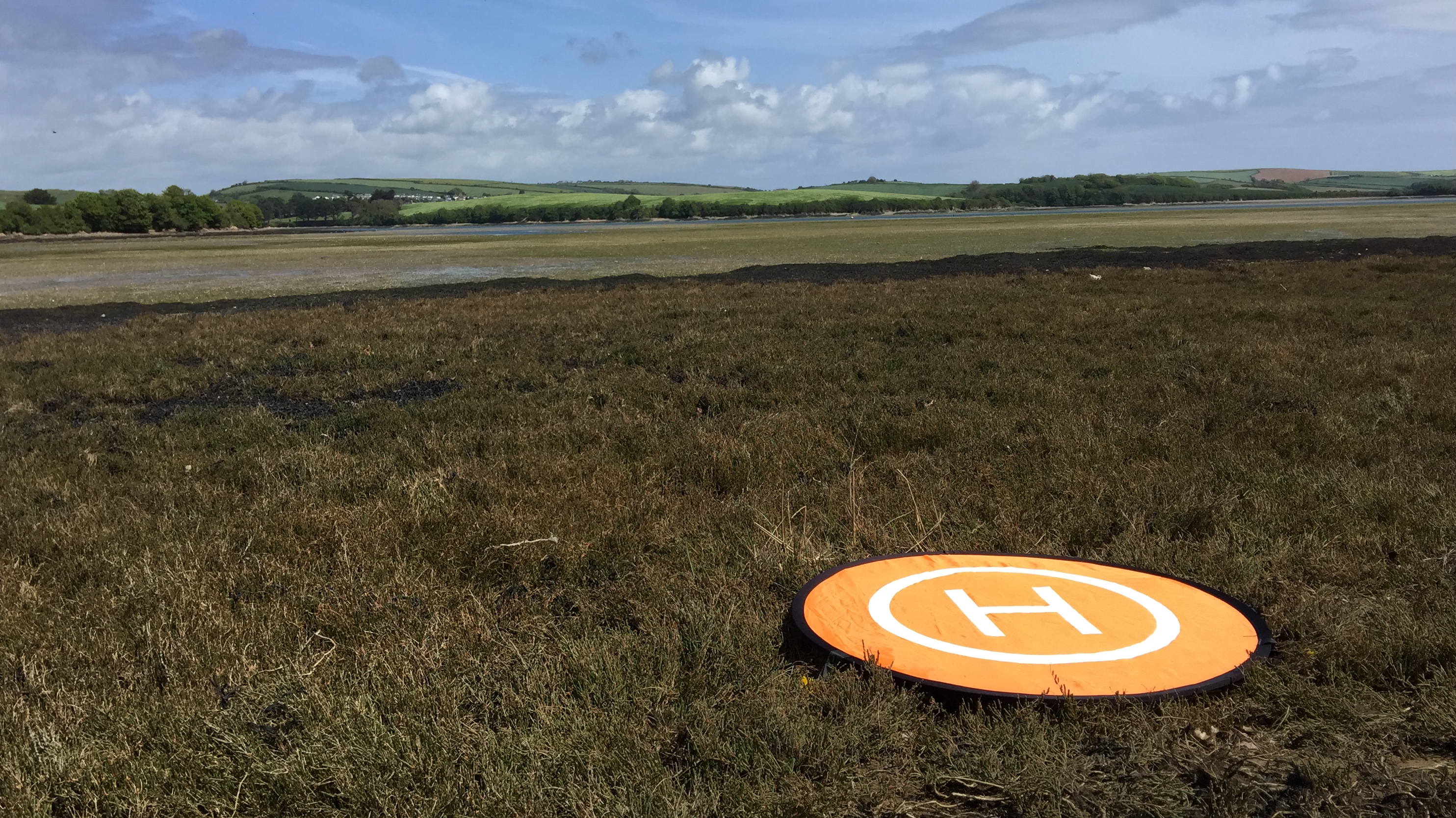
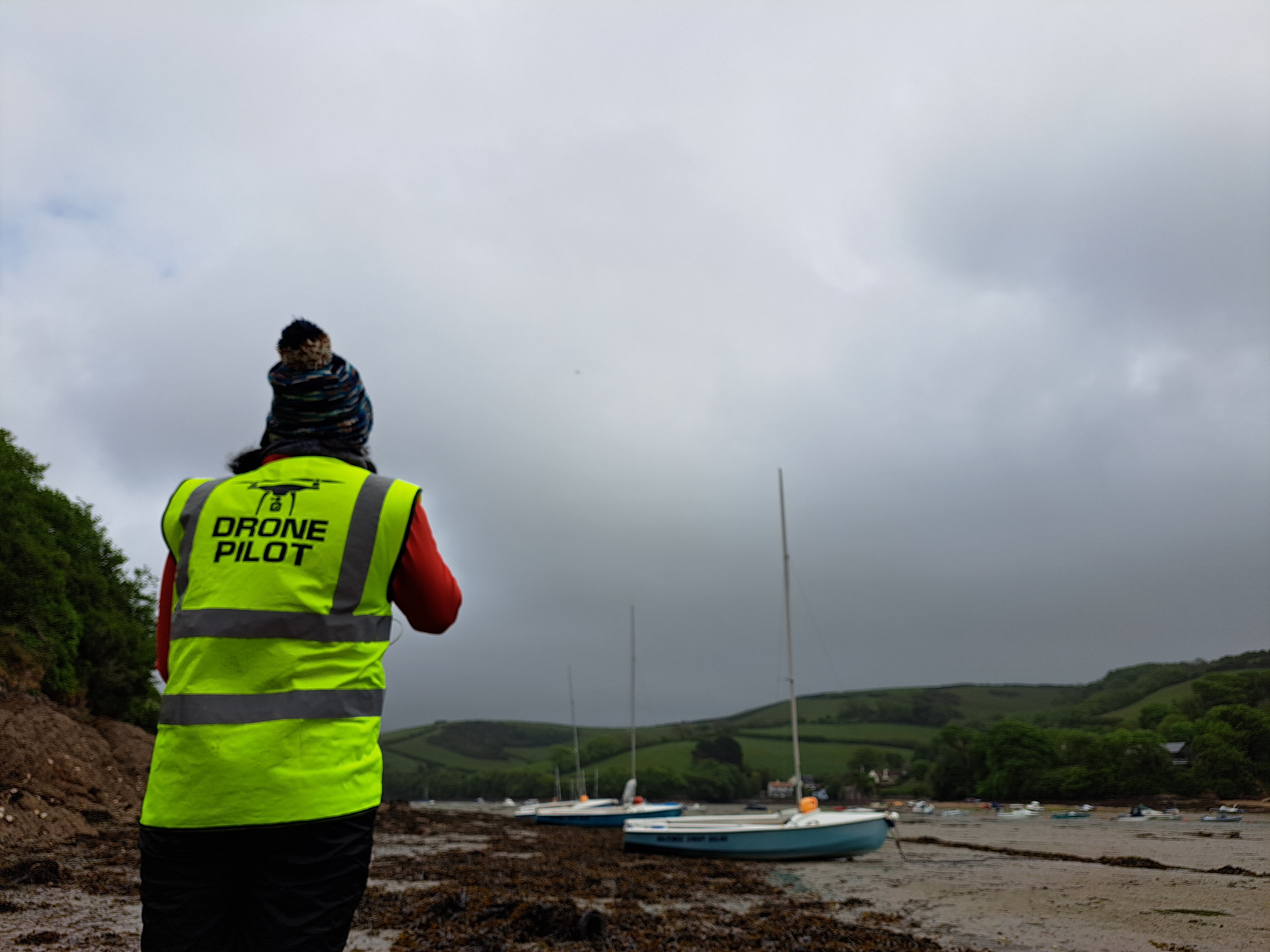 Above: Photos from the drone fieldwork campaign at Kingsbridge Estuary
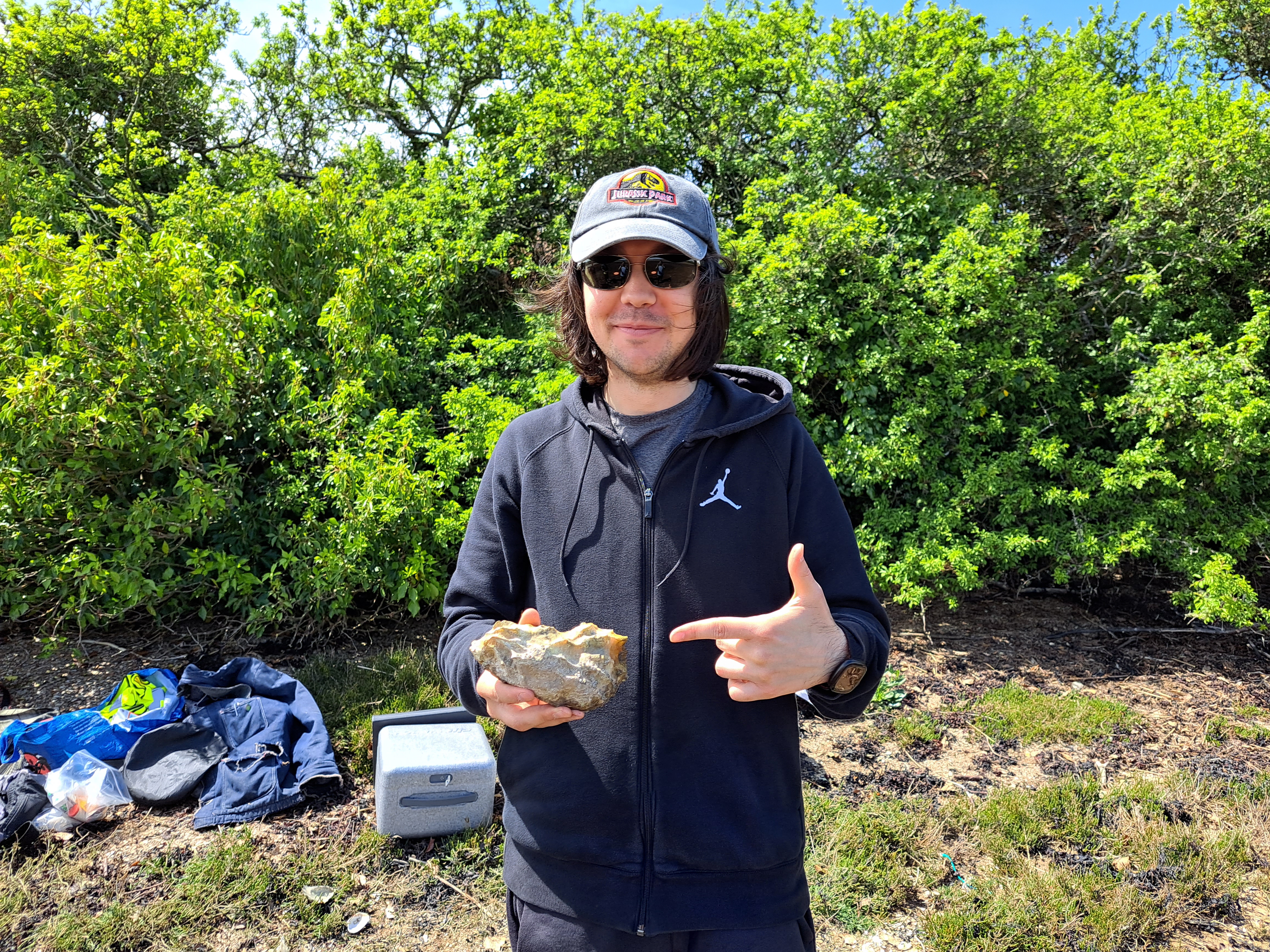
Above: Lead scientist, Aser Mata, with a Pacific Oyster during fieldwork at Kingsbridge Estuary
“Once the images were captured, using object detection, we compared how different deep learning models performed in the detection of Pacific oysters over the surveyed areas.”
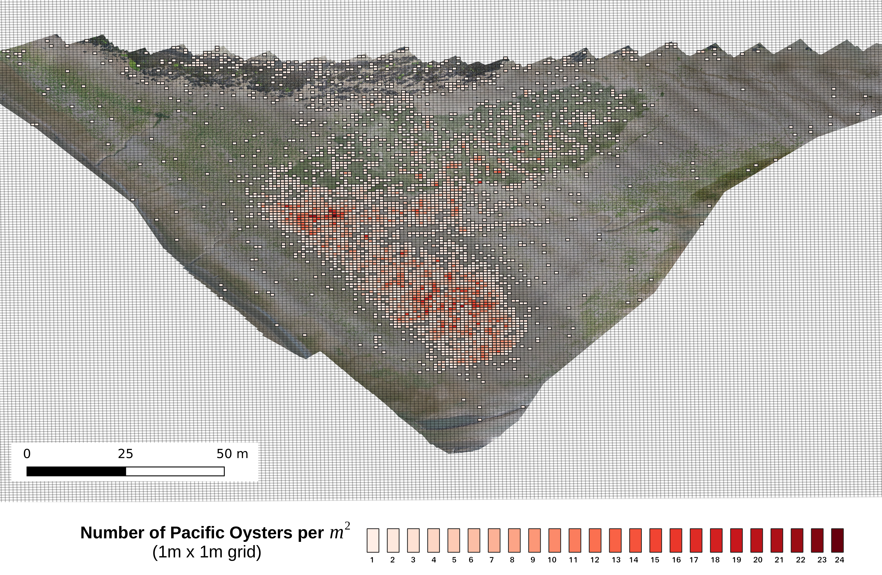
“Our chosen model resulted in an 88% precision in detecting Pacific oysters. This means that this method is able to provide a cost-effective solution cover medium to large size areas in a small window of time with only a 12% of false positives being raised.”
“The workflow presented in this study proposes the use of grid maps to visualize the density of Pacific oysters per square meter – which will not be possible to be achieved using traditional surveys. Hence this data also allows effective ecological management, and the creation of time series to identify trends and development of better spread model.”