Story
Mapping a Better Balance: Biodiversity and Shipping in the Atlantic
17 April 2025
An ESA-funded study that used satellite data to define biodiversity zones and shipping lanes in the Atlantic Ocean suggests it is possible to protect 30% of ocean habitats, with little impact on fishing and shipping.
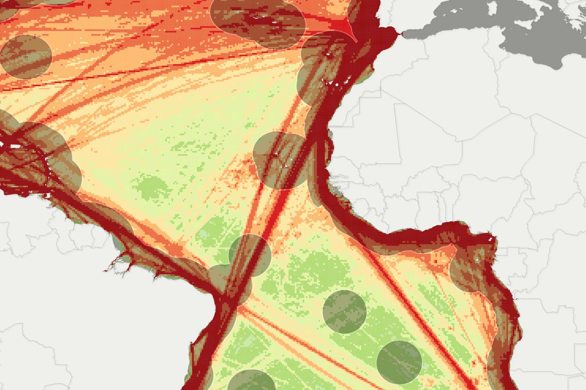
The study, funded by ESA’s Science for Society Biodiversity in the Open Ocean: Mapping, Monitoring and Modelling (BOOMS) project – of which PML is the lead partner, demonstrates how satellite data can be used to define a methodology to protect 30% of the ocean seascape, which provides important habitats for migratory birds, large fish, turtles, cetaceans and mammals including whales, dolphins and porpoises.
PML’s Dr Victor Martinez-Vicente, bio-optical oceanographer and coordinator of BOOMS said, “The biogeography of the ocean has a long history, yet the novel application described in Asier’s paper is a demonstration of the potential that satellite-derived data has to support marine policy at the global scale.”
Find out more and access the full study via the ESA website >>
