Story
How Earth Observation can help public health
06 October 2025
A new comprehensive review evaluates how Earth Observation technologies and Big Data platforms are being harnessed to monitor and understand human health. It highlights the potential for disease modelling, environmental exposure assessment and public health decision-making but also the need for increased interdisciplinary collaboration, data consolidation and improved data accessibility.
Earth Observation (EO) plays a crucial role in the monitoring of the environment, climate and weather as well as monitoring natural disasters and human activities. EO data refers to information collected about the Earth’s surface, atmosphere and oceans using remote sensing technologies, such as satellites, aircrafts, drones and ground-based sensors.
The integration of EO and Big Data into human health research has expanded significantly over the last 30 year, growing from 2 scientific publications in 1991 to 266 in 2024.
This wealth of information has proved invaluable in understanding the intricate dynamics between environmental factors and human health, providing insight into the prevalence and spread of diseases, the impact of natural disasters and the effectiveness of public health interventions.
However, despite this growth, the field remains fragmented due to inconsistent data formats, limited data accessibility and weak interdisciplinary collaboration between EO data producers, data managers and the public health practitioners. This hampers the effective translation of EO insights into practice.
The study team undertook a detailed bibliometric analysis of 1,751 research documents, identifying 22 big data platforms that combine EO and health data, to provide a data-driven baseline for tracking global trends and innovations at the intersection of EO and health.
Dr Dhritiraj Sengupta, lead author and former Earth Observation Scientist at Plymouth Marine Laboratory when this work was completed (currently at GMV), commented:
“This review study provides an understanding of the challenges and opportunities which lies on the plate for both the health and earth observation professional, and encourages cross discipline collaboration.”
Key findings from this comprehensive review include:
Cross-sector and interdisciplinary collaboration: the paper underscores the growing role of interdisciplinary partnerships in this domain. Data requirements for health research highlights the need for interdisciplinary teams, and co-production should replace producers-versus-users approach to make progress.
Focus areas in health monitoring: the paper explored how satellite imagery and environmental data can be integrated with big data analytics for health applications. Frequent topics include air pollution, dengue fever and cholera, however, it was clear that EO data are under-utilised and emphasises the need for greater integration of EO data into health research.
Emerging platforms for health data: the paper maps the evolving landscape of data platforms that manage, analyse and operationalise the extensive stream of EO data, enabling powerful insights and applications across global-scale health initiatives. Some platforms focus on animal health and zoonotic (animal/human transmitted) disease surveillance, providing data to support early detection and response to prevent outbreaks that could impact both animals and humans. Other platforms concentrate on EO data crucial for understanding how climate change and environmental factors influence health outcomes. These platforms are particularly important in the context of rising global temperatures and changing ecosystems, which can alter the distribution of diseases and increase the frequency of extreme weather events that pose health risks.
Strategic Future Insights: the paper highlights emerging domains and platform capabilities, aiming to guide policymakers, researchers and technologists toward building resilient, data-informed public health infrastructures.
The study concludes that:
- Economically, EO data offer cost-effective global insights, yet funding remains a hurdle.
- Socially, public health awareness can be raised by transparency and accessibility of data, but cultural and technological differences pose barriers.
- Technologically, advancements such as Synthetic Aperture Radar (SAR) and high-resolution imaging offer novel opportunities for disease forecasting and environmental monitoring but gaps in data quality and resolution persist.
- Legally, EO data support advocacy and global non-governmental organisations (NGOs), yet it is not universally recognised as a valid source of evidence.
- Environmentally, EO platforms enhance the analysis of climate trends and disease outbreaks, but raise concerns about carbon emissions and space debris. Addressing these factors holistically is crucial for leveraging EO data platforms in the health sector.
Prof. Shubha Sathyendranath MBE, co-author and Merit Remote Sensing Scientist at Plymouth Marine Laboratory, said:
“The strengths of EO data in human health research lies in its ability to provide user-ready data at various scale, which support evidence-based decision-making and improved spatial and temporal coverage. However, these platforms face challenges such as skill gaps, data privacy concerns and a lack of political recognition”.
‘Sensing Human Health from Space: An Assessment of Applications and Big Data Platforms’ was published in Remote Sensing Applications: Society and Environment and involved scientists from Plymouth Marine Laboratory, University of Southampton, GMV (Portugal) , Istituto Zooprofilattico Sperimentale dell’Abruzzo e del Molise “G. Caporale” (Italy), Environmental Research Group Oxford Ltd (UK), Gmatics (Italy) and Brockmann Consult GmbH (Germany).
Definitions of the six EO-derived variables used in the study
| Parameter | Definition |
| Sea Surface Temperature (SST) | The temperature of the ocean’s surface, measured using satellites, buoys, and ships. SST is crucial for understanding climate change, weather patterns, and marine ecosystems. |
| Land Surface Temperature (LST) | The temperature of the Earth’s land surface, as measured by satellites. LST is essential for studying urban heat islands, droughts, and environmental changes impacting human health. |
| Chlorophyll-a | A pigment found in phytoplankton that is central to photosynthesis and is an indicator of biomass. Measuring chlorophyll-a levels in water bodies helps monitor algal blooms, ocean productivity, and water quality. |
| Normalised Difference Vegetation Index (NDVI) | A widely used numerical indicator for measuring and monitoring vegetation health and density. It works by comparing the difference between near-infrared and visible red light reflected by vegetation. This index is not only crucial for assessing ecological conditions, but is also increasingly recognised as a valuable indicator for monitoring the impact of vegetation on human health. |
| Water quality/Extent | Refers to the chemical, physical, and biological characteristics of water, including pollutants, dissolved oxygen, extent and turbidity. Monitoring water quality is vital for ecosystem health and human well-being. |
| Particulate Matter (PM) | Tiny solid or liquid particles suspended in the atmosphere, including dust, smoke, and pollutants. PM is a major air quality indicator and is linked to respiratory and cardiovascular health issues. |
Strengths-Weaknesses-Opportunities-Threats (SWOT) and Political, Economic-Sociological-Technological-Legal-Environmental (PESTLE) analysis for usage of Earth Observation big data platforms and planetary scale human health.
| Sector | Strength | Weakness | Opportunity | Threat |
| Political | Public health policy | Data sharing among different departments | To merge space policy with health services | Trust and data breach |
| International initiatives for adaptation to climate change | Raise political awareness of added value of EO data | Poor risk maps will lead to inadequate planning | ||
| EO not politically recognised as valuable | ||||
| Access to health data now under threat due major changes in governance | ||||
| Economic | Open source EO data from space agencies | Funding acquisition | Business growth around EO and public health partnerships | International political crisis and wars |
| EO is likely the only way to have global data in an economically viable way | ||||
| Social | Transparency and accessibility of data | Skill gap | New creative jobs | Data protection and privacy |
| Different cultures (health and technologically involved) | Public health awareness | Trust in EO data | ||
| Technological | Improved spatial and temporal coverage | Data standardisation | Disease forecasting over space and time | Gaps in data |
| Emergence of Synthetic Aperture Radar in the commercial space industry | Availability of health data | Exploring high resolution satellite images | Quality of EO data | |
| Data management | Time series health analysis | Not easily accessible in useable format | ||
| Need for higher spatial and temporal resolution | Identifying novel opportunities | |||
| Legal | Supporting evidence-based advocacy | EO not recognised as legally valid source of evidence | Novel ways to generate evidence and improve decision making | Low granularity / resolution of EO data preventing valid evidence |
| Open source EO data supporting NGOs globally | Awareness of legal binding around EO | |||
| Environmental | Better communication on environmental change | Carbon footprint of servers that manage terabytes of data | Data fusion for better forecasting of disease outbreaks | Carbon emissions from satellite development and launches |
| Data accessibility | Trend analysis for early decision making | Space debris | ||
| Time series analysis for environmental trends |
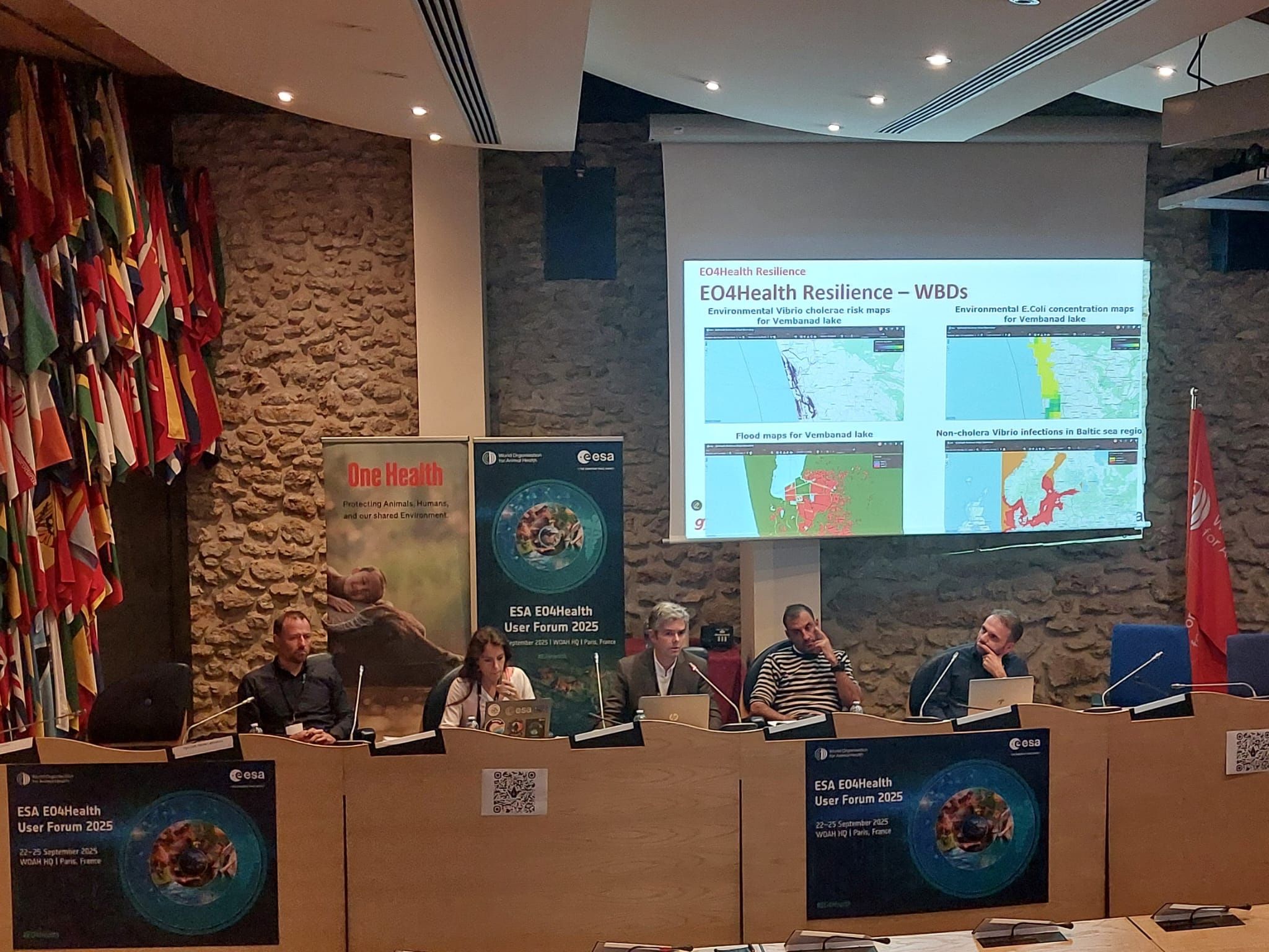
Image: EO4 Health was recently presented at the WOAH (World Association of Animal Health) headquarters in Paris
