Story | 15 April 2026
Satellites, ships and robotic floats: tracking ocean carbon more accurately
PML researchers have developed a new approach to combine satellite, ship and robotic float data – creating a more complete and consistent picture of how carbon moves through the ocean.
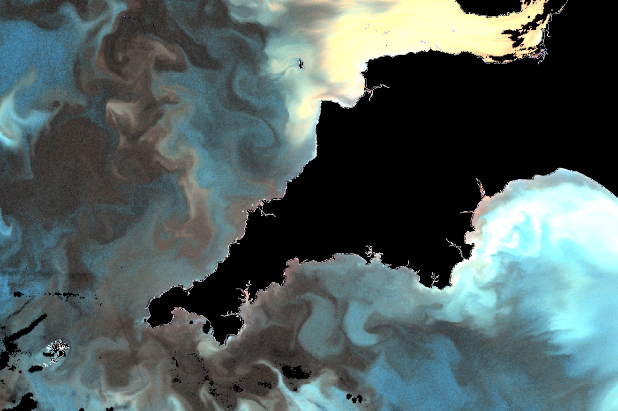
Image: NRT Sentinel 3a OLCI, enhanced ocean colour 2021-09-07 – 2021-09-07. Processed by NEODAAS.
The largest carbon sink on earth, and our greatest ally in the fight against climate change: our ocean absorbs around 30 percent of all carbon dioxide emissions – helping to regulate the Earth’s climate.
However, increasing greenhouse gas emissions are reducing the ocean’s ability to absorb carbon dioxide, and so, understanding how carbon moves through the ocean is essential for monitoring climate change, and predicting what our future climate may look like.
Yet measuring how this carbon is transported and stored is not straightforward.
One key piece of this puzzle is measuring Particulate Organic Carbon (POC) – the mass of carbon contained in suspended or sinking organic particles in water such as living plankton, dead organisms, faecal pellets, and debris. It is a critical component of the ocean’s biological carbon pump, facilitating carbon transfer to deeper waters and keeping it locked away from the atmosphere.
Traditionally, POC has been measured by collecting water samples from ships and analysing them in laboratories. Whilst highly accurate, this approach is both time-consuming and expensive – and limited in how much of the ocean it can cover.
To build a more complete picture, scientists also use data from free-drifting Argo floats, which collect vertical profiles autonomously. These systems provide wider coverage, but are far from uniform in their global distribution.
Satellite observations can fill the gap in terms of both space and time, using ocean colour to measure POC, however, satellites can only measure the surface of the ocean, not the depths.
Combining these different data sources has been a long-standing challenge in science, as each method measures different properties of POC and applies different algorithms. In particular, Argo floats estimate chlorophyll from stimulated fluorescence, whereas satellite sensors record the reflectance of solar radiation.
Now, researchers at Plymouth Marine Laboratory (PML) alongside Institut de Ciències del Mar have developed a new approach to bring them together.
Their investigation made use of the quality-controlled reflectances in the ocean colour Climate Change Initiative (CCI) dataset – which has homogenised the data from over 25 years of continuous satellite observations from multiple sensors to produce self-consistent datasets of sea surface reflectances, optical backscatter, and associated derived variables.
The researchers used a large collation of in situ measurements from ship-based measurements to tune and validate the POC algorithm for satellite data, and then used that for adjusting the Argo estimates of POC.
During the study, the team identified differences between satellite and float-based measurements in the Southern Ocean. These were linked to known issues with how some sensors estimate chlorophyll, highlighting that regional discrepancies need to be understood and corrected for.
By refining algorithms and using high-quality datasets, the team has created a way to generate consistent estimates of POC from ships, satellites and Argo floats – opening the door to a more complete, long-term record of carbon in the ocean.
The approach brings measurements from different platforms into close agreement – typically within around 15% – providing confidence in combining them into a single dataset.
The team also found that a relatively simple approach – using chlorophyll measurements alone – can estimate particulate organic carbon almost as effectively as more complex methods.
Lead author, Dr Graham Quartly, Physical oceanographer – Remote sensing at PML said:
“This work represents an important step towards better understanding how carbon is stored and transported in the ocean – information that is critical for climate research and predicting future change.”
“Future work to extend the dataset to below the photic zone will require the establishment and use of a quality-controlled dataset of vertically-resolved shipborne measurements.”
